Moor Lane developers option – click to enlarge
The York Council has released more details of the assessments that it has made of requests by landowners for particular sites to be considered for development.
They include assessments for some sites, which were rejected, and are not being considered at its meetings on the 17th April and 23rd April 2014
Council officials have reviewed development boundaries at several sites put forward last year.
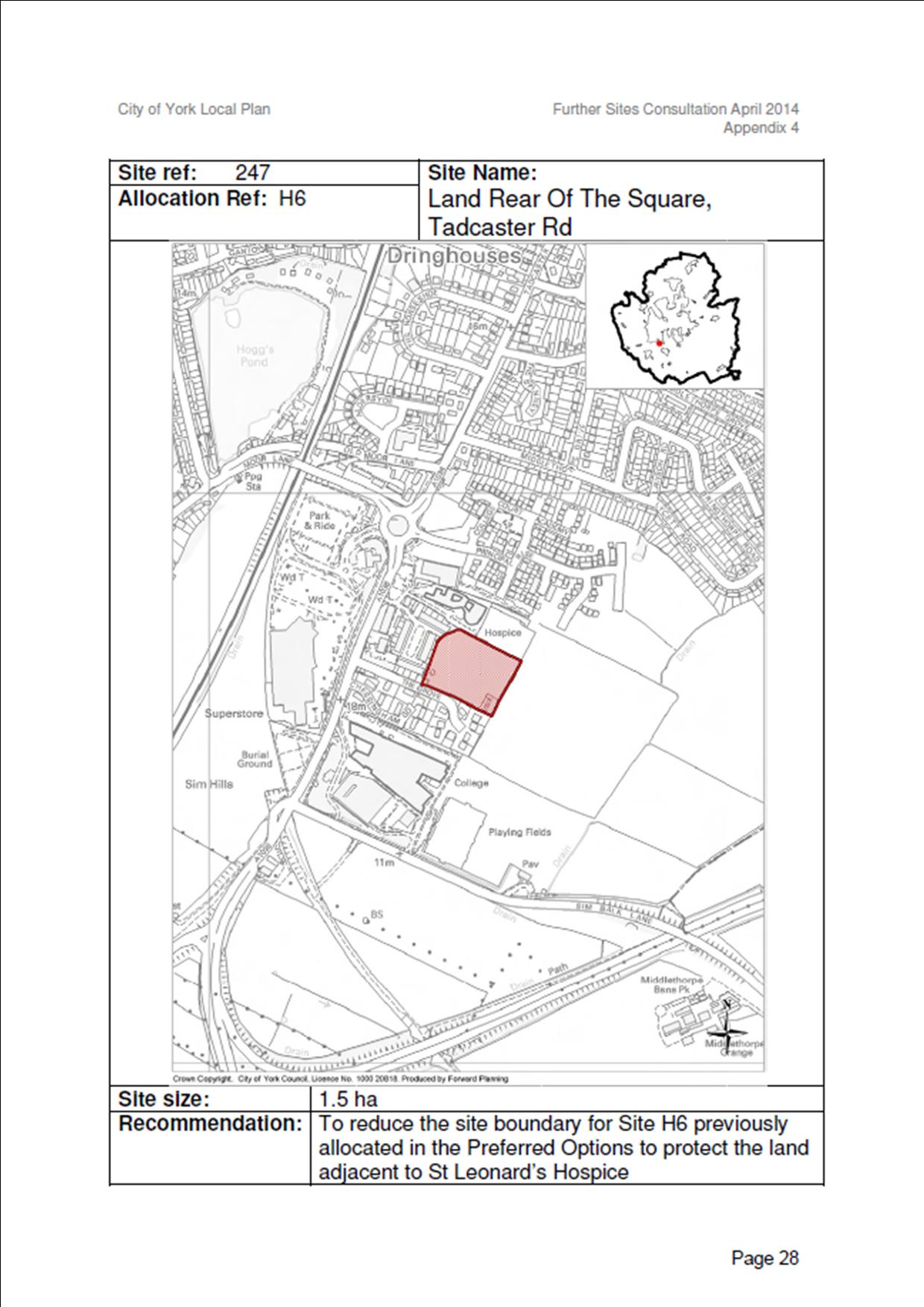
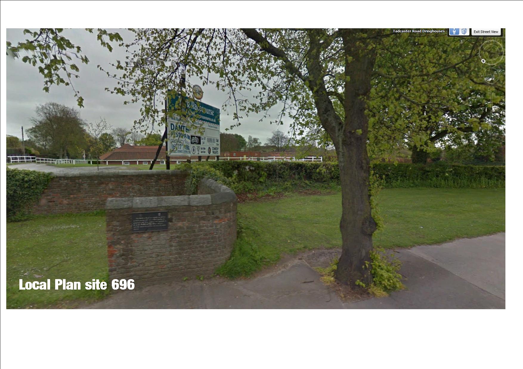
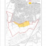
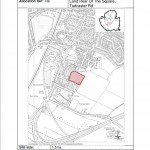
Council officials have agree to reduce the area of land available for house building to the rear of St Leonards Hospice (site 247). This is aimed a preserving the views for patients. However officers continue to endorse building on the farm land to the rear of The Square. The housing site further down Tadcaster Road site 696) at the stables will not be increased in size.
Hospice/The Square site. Click to enlarge
A proposal by developers to more than double the size of the Moor Lane site (ref ST10) – itself highly controversial – has also been rejected by officials
They are relevant though in so far as they provide an indication of the landowner’s development aspirations. They are likely to reappear at the Public Inquiry later in the year when owners will try to have additional development land added to the Plan.
39 sites, including one off Askham Lane, were rejected because they failed to respect the natural environment; two were rejected because they were on open space, while 21 had poor transport links and/or access to services
Stables housing site on Tadcaster Road
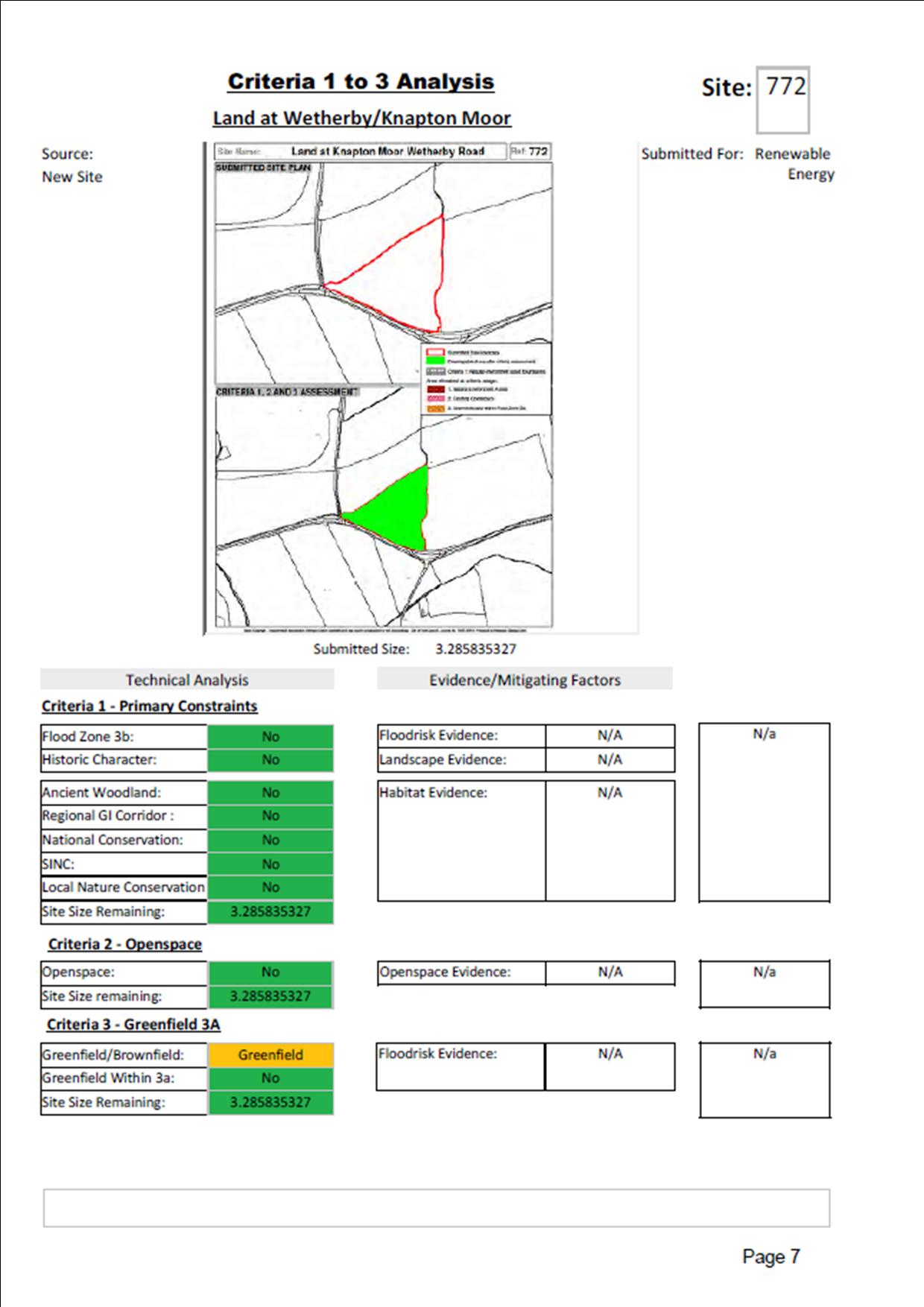
The proposals included the land (site ref 220) on Wetherby Road – near Knapton – originally suggested as a “Showman’s Yard” site. Now the owners want to build housing there. Worryingly the reason given by the Council officials for opposing development is the “lack of public transport”. No mention is made of its green belt credentials.
26 sites failed a “technical evaluation”. These included land to the west of Chapelfields (ref 778) which was rejected on grounds of landscape value and potential archaeology.
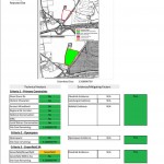
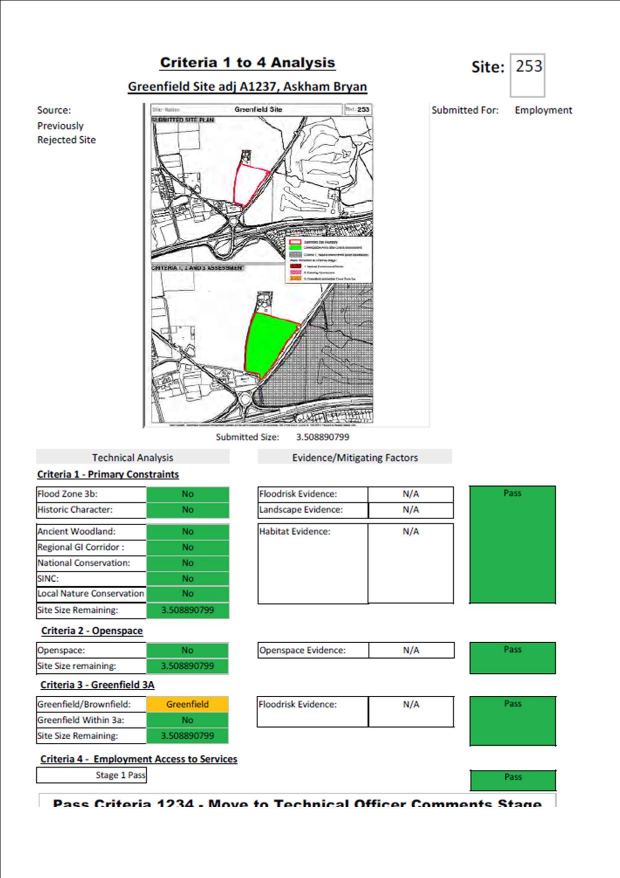
Askham Bryan transhipment depot plan. Click to enlarge
There is a similar list of changes to sites proposed for Employment/Retail use.
These include a “freight transhipment” and Compressed Natural Gas (CNG) site on land between the A1237 and Askham Bryan. Although currently well screened by trees, this is an elevated site which would be visible from several miles.
Officials also rule out the development of even more of the open space between Woodthorpe, Foxwood, Chapelfields and the ring roads (site 791) and the rest of Acomb Moor (site 792) although the partial development of the moor still remains part of the draft Plan.